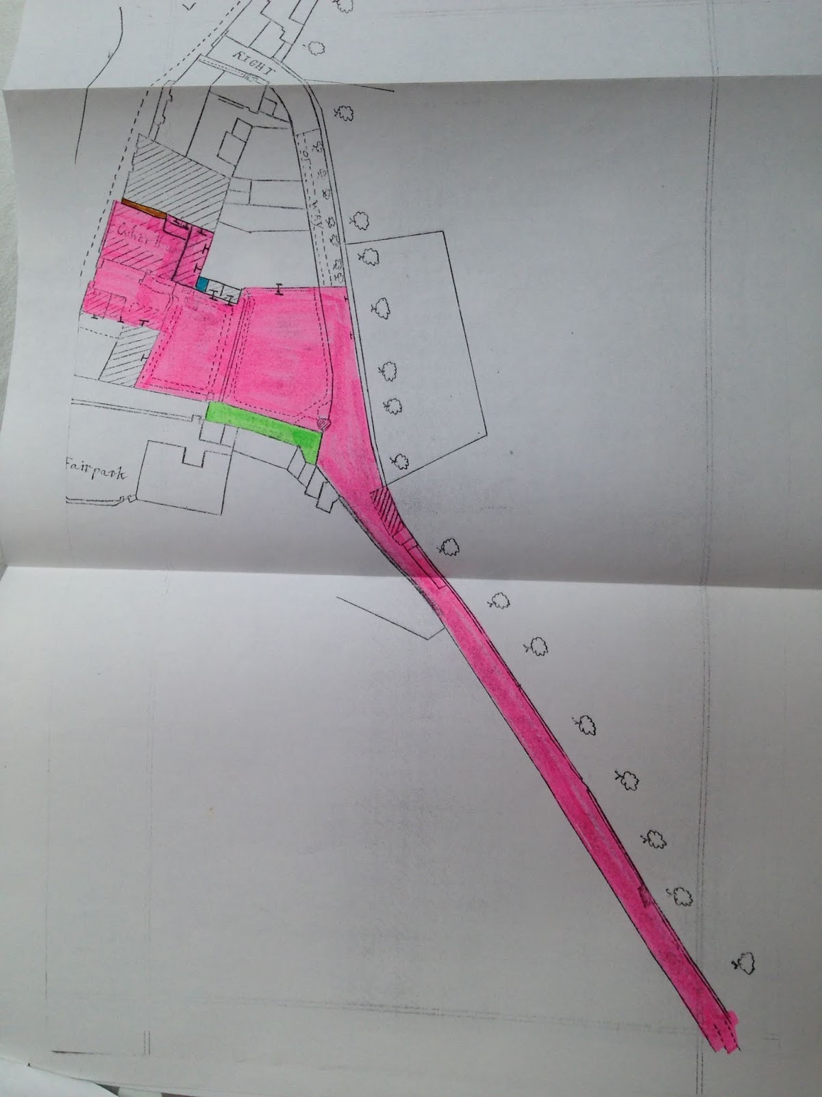
here are some old maps that show Culver House.
I think this is a tracing of the Crediton Tithe Map of c.1840.
This is an excellent large scale Ordnance Survey map at, I think, 25 inches to the mile.
This map is from the deeds of Culver House.
Another large scale Ordnance Survey map.
Again from our deeds.
From a more recent large scale Ordnance Survey map.